
Stargazing
Utah holds some of the darkest skies in the country. These campgrounds are scored on cloud cover and night conditions so you can pick the night, not just the place.
17 Utah campgrounds match this activity.
Recommended campgrounds
Ranked by overnight comfort score, then by 360° tour coverage.
Canyon Country (Southeast)
Buckboard
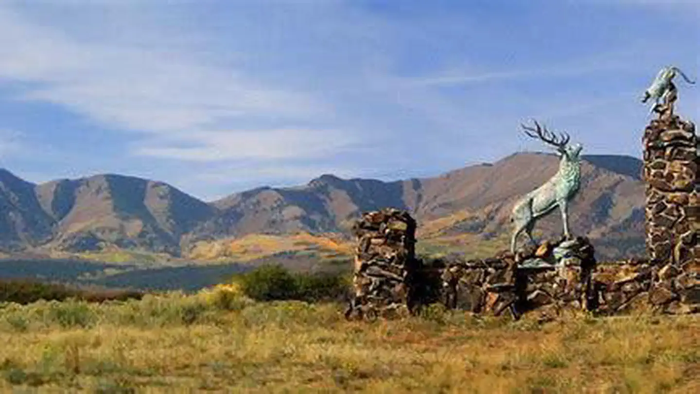
Buckboard Campground sits in the Manti-LaSal National Forest in southeast Utah at the foot of the Abajo Mountains. Visitors enjoy fishing and exploring local trails. Recreation Popular activities include fishing, hiking and off-road vehicle riding. Several trailheads are nearby, including Robertson's Pasture Trail and Spring Creek Trail. The Abajo Loop State Scenic Backway passes by the campground. It leads from the desert floor and red rock canyons to steep mountains over 10,000 feet high, with overlooks and panoramic views. The byway is suitable for passenger vehicles from late spring through fall but is not recommended for large RVs.
Colorado
Buckeye Recreation Area (Co)
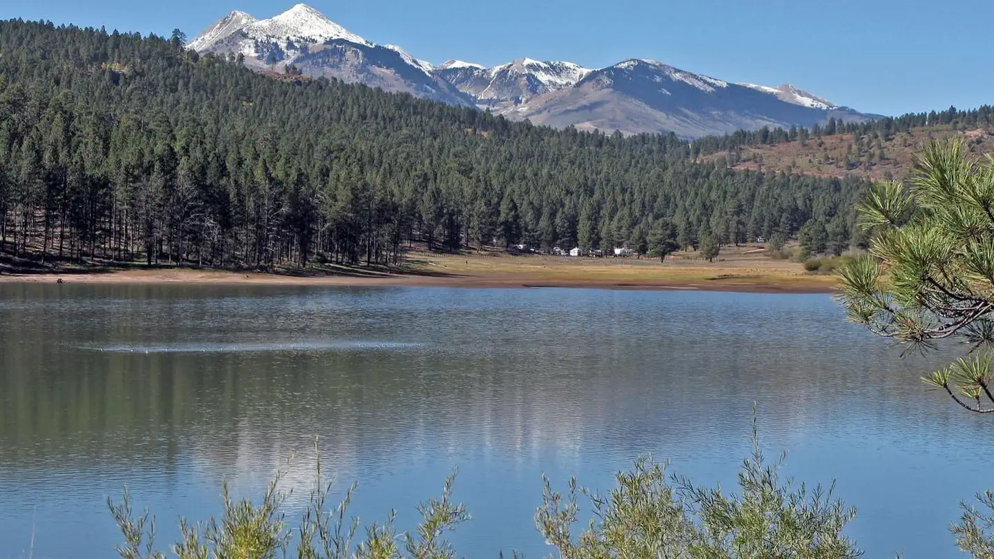
Overview The Buckeye Recreation Area is located adjacent to Buckeye Reservoir in Montrose County, Colorado. The area is popular for camping, OHV/ATV trails, hunting and fishing.

Canyon Country (Southeast)
Canyonlands National Park Needles District Campground
Overview The Needles is a remote district located within the southern portion of Canyonlands National Park in southeastern Utah. The Needles District is 1.25 hours driving time from Monticello, Utah, and 1.5 hours from Moab, Utah, and sits at an elevation of approximately 4,900 feet (1494 m).
Canyon Country (Southeast)
Devils Canyon
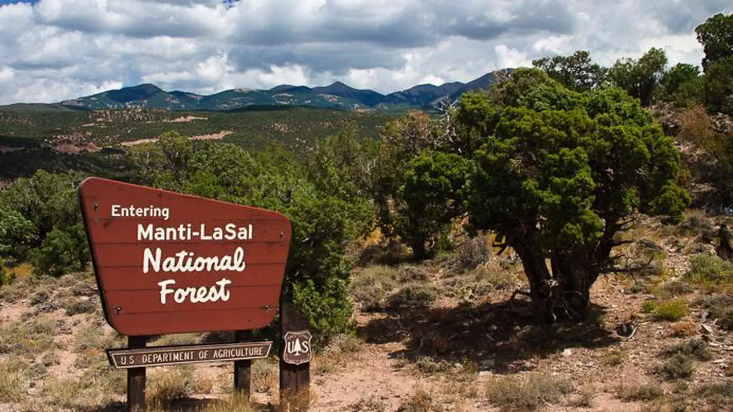
Overview Devils Canyon Campground sits in the Manti-LaSal National Forest of southeast Utah at the foot of the Abajo Mountains.
Canyon Country (Southeast)
Dewey Bridge Group Sites
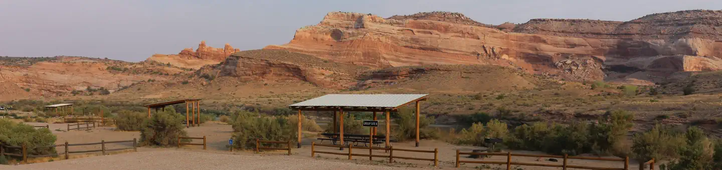
The group sites at Dewey Bridge are located along the Colorado River and offer a wonderful retreat for adventurers looking to explore the area. Within close proximity to national parks and open space, outdoor enthusiasts will enjoy hiking, mountain biking, whitewater rafting, and four-wheel drive tours in the surrounding area. The town of Moab is approximately 45 minutes away and has dining, shopping, sports rentals, tour companies and museums.
Uinta Basin & Eastern Utah
Grizzly Ridge Yurt
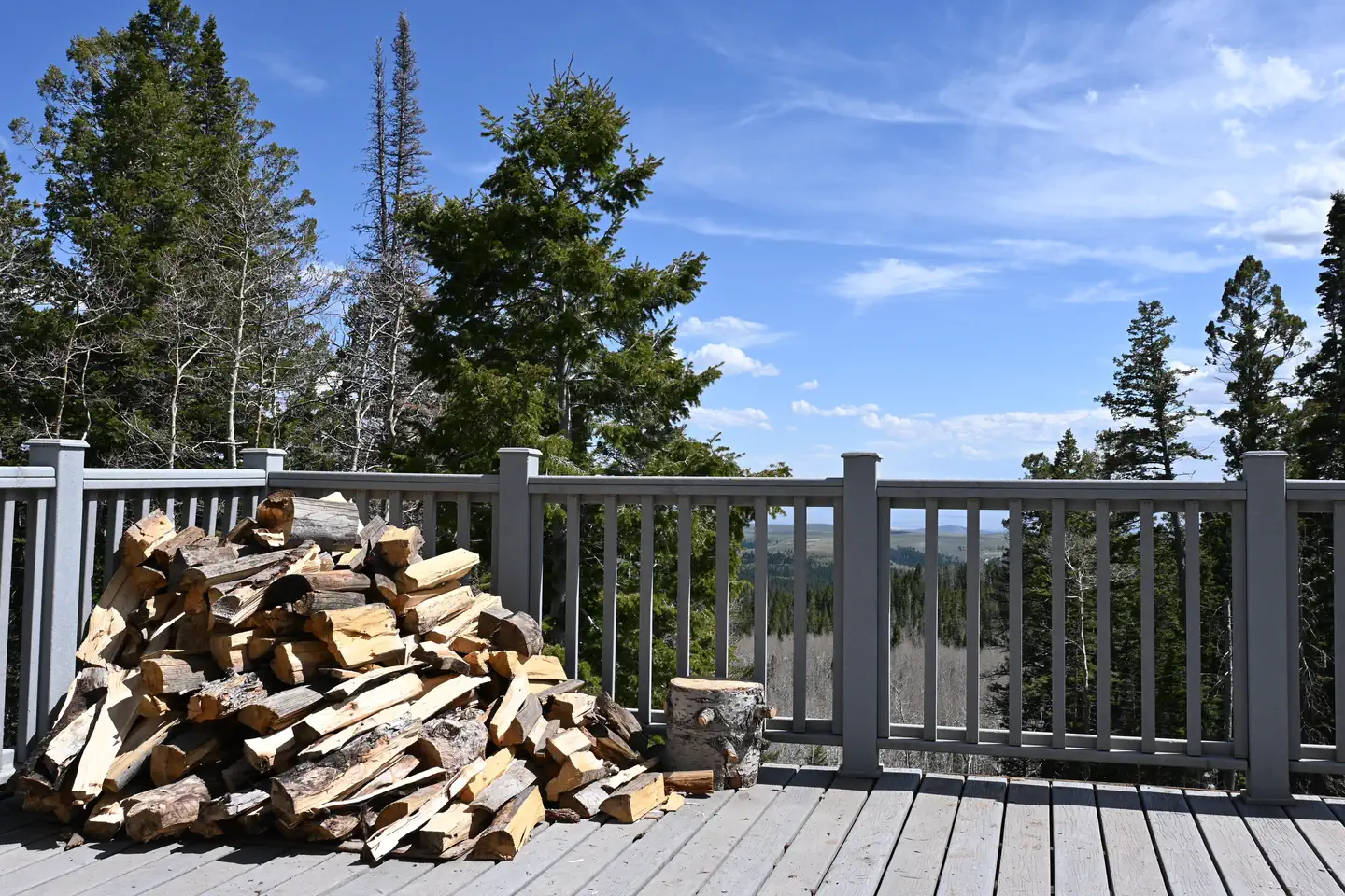
Overview Grizzly Ridge Yurt is located on the Ashley National Forest, approximately 20 air miles north of Vernal in eastern Utah. It provides year-round primitive lodging for guests. The yurt is open for reservations all months except November, April and May. Hiking, off-roading, skiing and snowshoeing are the most popular activities in the area.
Greater Zion & Bryce (Southwest)
Hanging Rock Campground
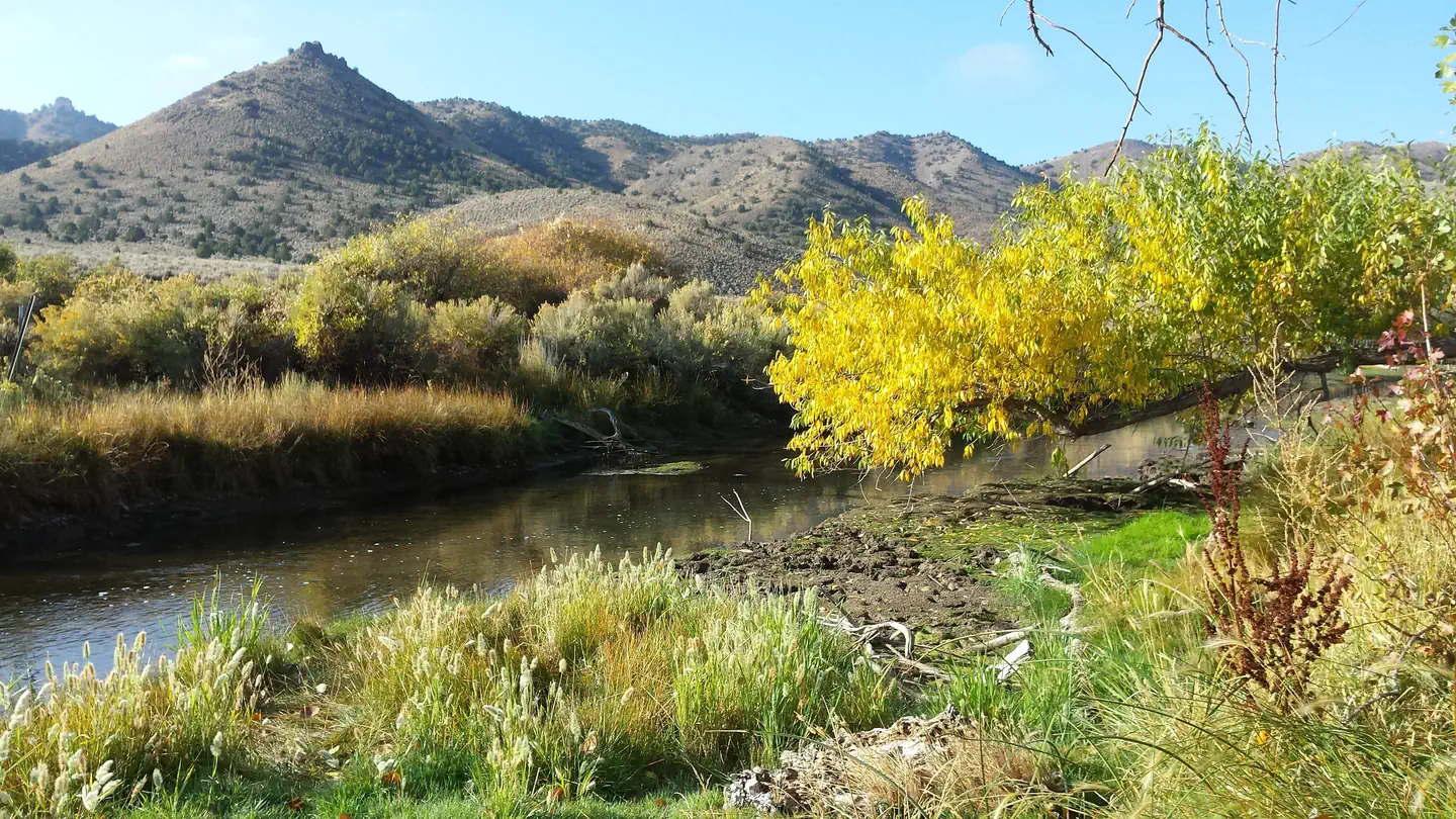
Overview Hanging Rock Campground is located just off of Highway 21 between the towns of Beaver and Minerville, UT. The campground has six campsites all located alongside the scenic Beaver River. Along with the scenery that the river provides, it also offers what many consider to be the best fising in Beaver County.

Canyon Country (Southeast)
Hittle Bottom Group Site
Hittle Bottom Campground is located on the banks of the Colorado River and is a popular launch site for river trips. The group site is ideal for small family or school gatherings. Within close proximity to national parks and open space, outdoor enthusiasts will enjoy hiking, mountain biking, whitewater rafting, and four-wheel drive tours in the surrounding area. The town of Moab is approximately 45 minutes away and has dining, shopping, sports rentals, tour companies and museums. Recreation This site is a popular launch site for river running and close to hiking, mountain biking and four-wheel driving opportunities. The river corridor is filled with canyons, trails and scenic vistas. Arches and Canyonlands National Parks are nearby and have many hiking trails and four-wheel drive roads.
Uinta Basin & Eastern Utah
Iron Springs Group Ashley
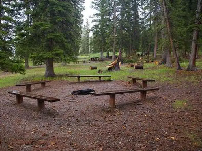
Overview Iron Springs Group Campground is located approximately 5 miles off U.S. Highway 191, along the Red Cloud Loop Scenic Backway at an elevation of 9,200 feet. Campers enjoy exploring local off-road trails. The Iron Springs Campground Group Sites include both the fenced-in area with picnic tables, and the areas immediately adjacent to site 1 and 2 with a quarter mile for overflow parking.
Uinta Basin & Eastern Utah
Limber Flag Yurt
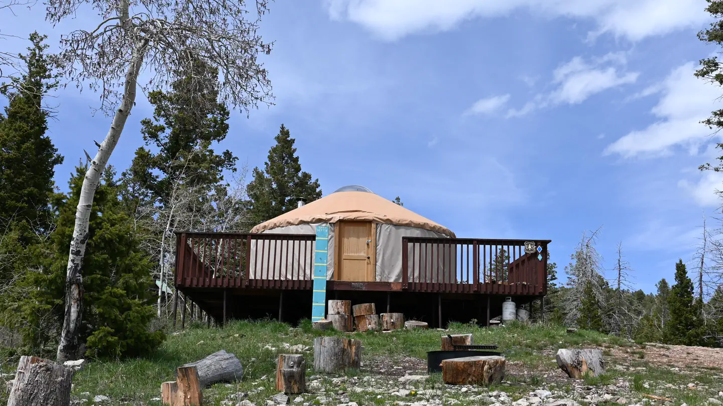
Overview Limber Flag Yurt is located in the Ashley National Forest, approximately 20 air miles north of Vernal, in eastern Utah. It provides year-round primitive lodging for guests. The yurt is open for reservations all months except November, April and May. Hiking, off-roading, fishing, hunting, skiing, and snowshoeing are the area's most popular activities. There is great opportunity for wildife viewing, photography practice, and exploring all that the Ashley National Forest has to offer.
Greater Zion & Bryce (Southwest)
Mount Logan Wilderness Area
The 14,650-acre Mount Logan Wilderness Area lies 45 miles south of Colorado City, Arizona, just north of the Grand Canyon in Mohave County. Hiking, camping, scenic vistas, watching wildlife and hunting are some of the prime recreational opportunities found in this wilderness. One example is the Mt. Logan Summit and Hells Hole Overlook.
Greater Zion & Bryce (Southwest)
Mount Trumbull Wilderness Area
The 7,880-acre Mount Trumbull Wilderness Area is 40 miles south of Colorado City, Arizona, just north of the Grand Canyon in Mohave County. It is located within the Grand Canyon-Parashant National Monument, which is jointly managed by the Bureau of Land Management and the National Park Service. Located at the southern end of the Uinkaret Plateau and part of the Uinkaret Mountains, Mt. Trumbull is a large, basalt-capped mesa with slopes dominated by pinyon pine and juniper trees interspersed with groves of aspen and Gambel oak. The summit or the plateau is covered with ponderosa pine. These vegetation communities provide homes for mule deer, wild turkey, and the Kaibab squirrel.
Recommended campsites
Individual sites worth asking for by name.
Canyonlands National Park Needles District Campground
Site 021
Canyonlands National Park Needles District Campground
Site 020
Devils Canyon
Site 26
Devils Canyon
Site 28
Devils Canyon
Site 35
Devils Canyon
Site 6
Devils Canyon
Site 11
Devils Canyon
Site 20
Nearby activities
What you'll actually do from those campgrounds.
Salt Flat Loop
2.9 mi from Canyonlands National Park Needles District Campground
Camp at Canyonlands National Park Needles District CampgroundUinta Highline Trail
3.7 mi from Grizzly Ridge Yurt
Camp at Grizzly Ridge YurtBeaver Basin Trail
11.4 mi from Buckeye Recreation Area (Co)
Camp at Buckeye Recreation Area (Co)Brumley Creek Climbing Access
13.1 mi from Buckeye Recreation Area (Co)
Camp at Buckeye Recreation Area (Co)Warner To Oowah (Sz)
13.4 mi from Buckeye Recreation Area (Co)
Camp at Buckeye Recreation Area (Co)Balanced Rock Trail
13.6 mi from Hittle Bottom Group Site
Camp at Hittle Bottom Group SiteWhere to look
Regions with the most options for this activity.
Other ways to camp
Same campgrounds, different reason to go.