
OHV & ATV Camping
Staging areas, wide sites for trailers and legal motorized routes from the campground loop. Check rig length on each site before you tow.
27 Utah campgrounds match this activity.
Recommended campgrounds
Ranked by overnight comfort score, then by 360° tour coverage.
Wasatch Front
Boy Scout
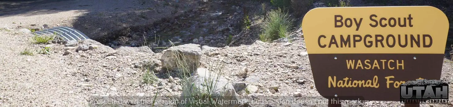
Boy Scout Campground is located southwest of Grantsville, Utah, in South Willow Canyon at an elevation of 6,320 feet. Visitors enjoy exploring local trails. Recreation The multi-use Stansbury Front Trail and Medina Flat Trail begin across the road from the entrance, offering access to the rugged Deseret Peak Wilderness. Willow Creek offers rainbow and brown trout fishing.
Canyon Country (Southeast)
Buckboard
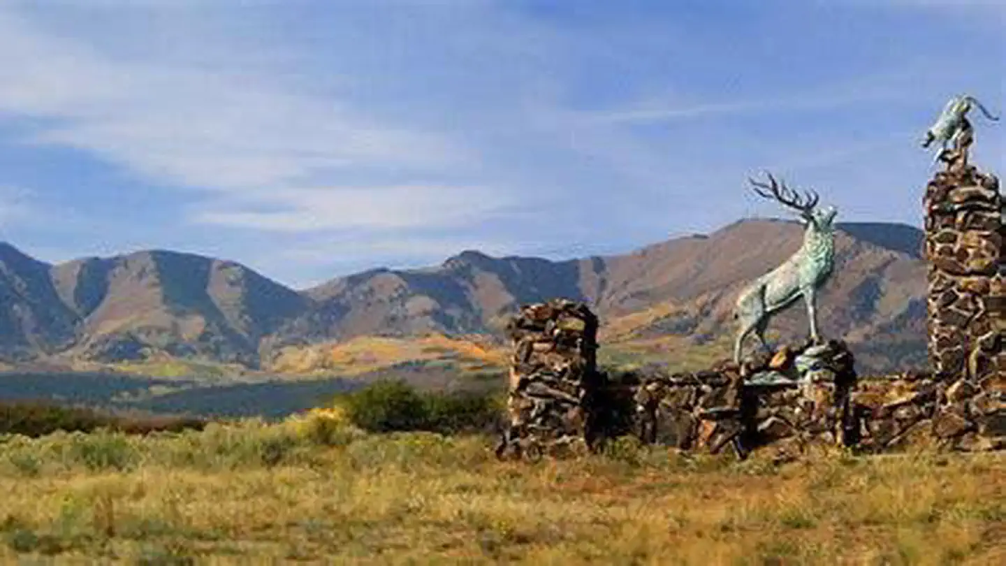
Buckboard Campground sits in the Manti-LaSal National Forest in southeast Utah at the foot of the Abajo Mountains. Visitors enjoy fishing and exploring local trails. Recreation Popular activities include fishing, hiking and off-road vehicle riding. Several trailheads are nearby, including Robertson's Pasture Trail and Spring Creek Trail. The Abajo Loop State Scenic Backway passes by the campground. It leads from the desert floor and red rock canyons to steep mountains over 10,000 feet high, with overlooks and panoramic views. The byway is suitable for passenger vehicles from late spring through fall but is not recommended for large RVs.
Uinta Basin & Eastern Utah
Buckhorn Draw
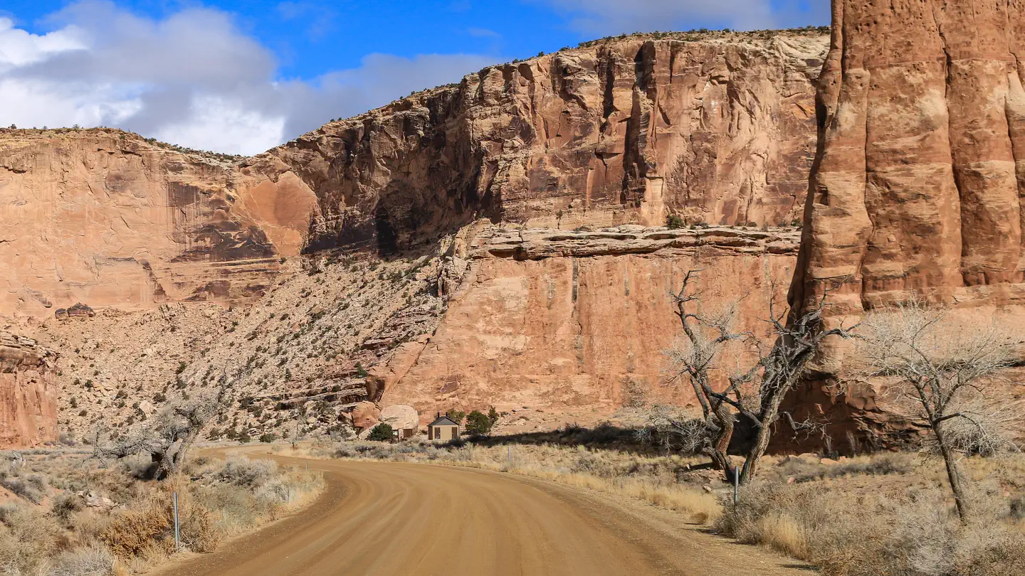
Overview Buckhorn Draw has multiple vault toilets and information stations along the main road. Individual campsites have picnic tables and fires rings.
Idaho
Clear Creek Campground
Clear Creek Campground is a non-fee campground and picnic area composed of 12 individual units and reservations are not required. This area is accessible for a season that varies usually between June through October. Campground amenities include toilets and the campground is well suited for tent and RV camping. Sites are handicapped accessible. Bull Flat (#001) and Lake Fork (#004) trails are popular with horseback riders, and hikers.
Uinta Basin & Eastern Utah
Cleveland Reservoir Campground
Overview Cleveland Reservoir Campground is located along Utah's scenic Energy Loop on top of the Wasatch Plateau off Highway 31 approximately 18 miles east of Fairview, Utah. The campground sits at an approximate elevation of 9,000 feet and is located next the the 135.8 acre Cleveland Reservoir. The Department of Wildlife Resources of Utah (DWR) stocks this reservoir with Rainbow Trout. Two miles further up the road is Huntington Reservoir and this reservoir is stocked with Tiger Trout.
Canyon Country (Southeast)
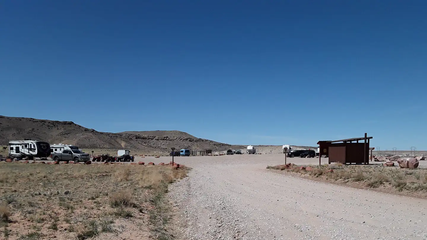
Courthouse Rock Campground
Overview Attention:
Canyon Country (Southeast)
Creek Pasture Campground
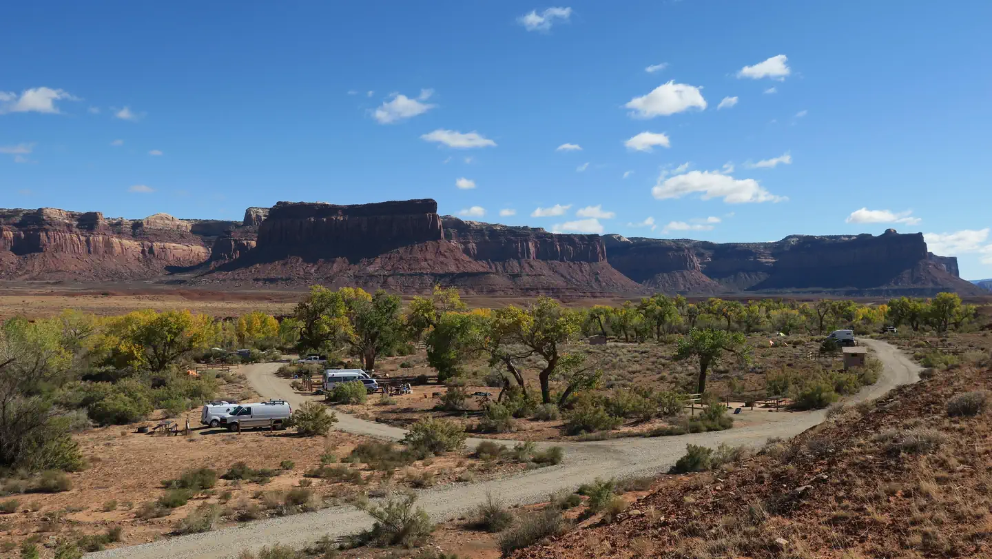
Overview Creek Pasture Campground is a good option for visitors wishing to recreate in the Indian Creek area of Bears Ears National Monument or be close to the Needles District of Canyonlands National Park. The campground is located north off the Needles Highway (accessed from Utah State Route 211), approximately 5 miles southeast of Canyonlands National Park and 15 miles northwest of Newspaper Rock. The campground provides 32 campsites that each feature a tent/trailer space, a picnic table, a fire ring, and vault toilets. Each campsite can hold 10 people and 2 vehicles. There is no drinking water at the campground. Reservations are not available for camping at this location. Individual campsites are available on a first come, first served basis upon arrival at the self-register kiosk at the site. The Creek Pasture Group Site is available for larger groups, and may be reserved here. The Indian Creek area is generally primitive and undeveloped, with few services.
Uinta Basin & Eastern Utah
Deadhorse Trailhead Campground
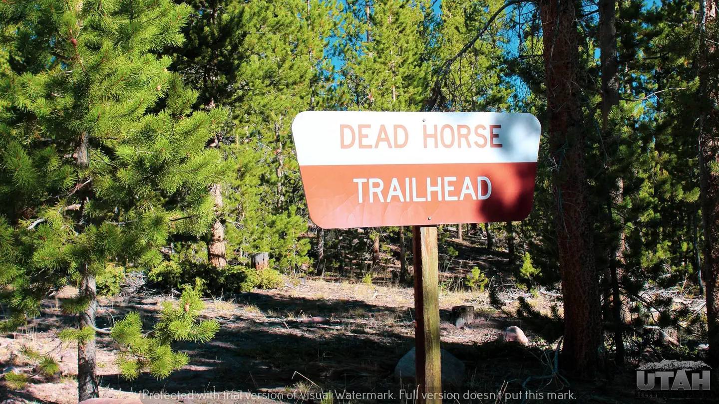
Overview Deadhorse Trailhead Campground is a small campground located on the northern slope of the Uinta Mountains at an elevation of 8,490 feet. It is adjacent to Deadhorse Trailhead which offers access to the Deadhorse OHV trail system.
Canyon Country (Southeast)
Dewey Bridge Group Sites
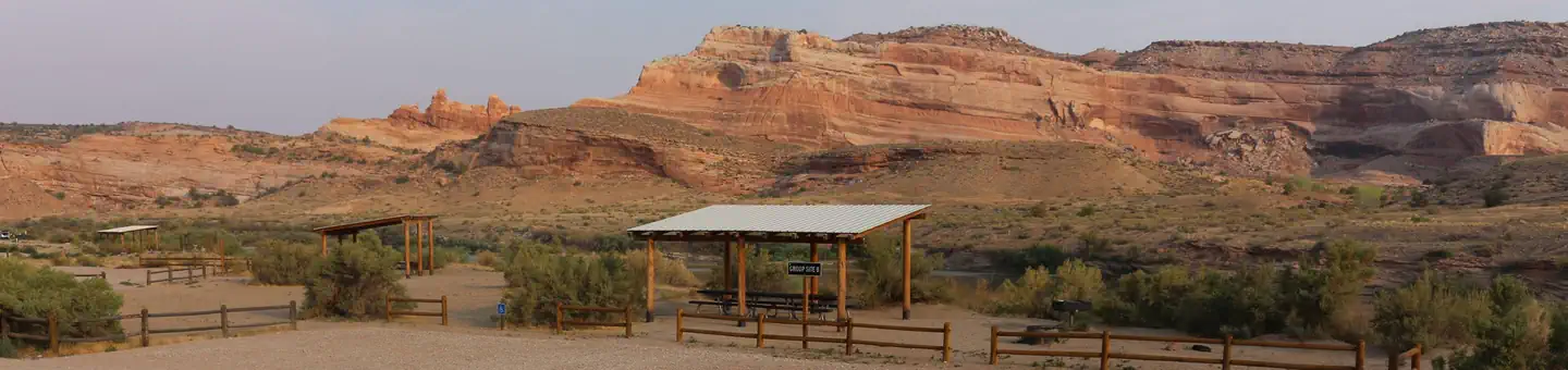
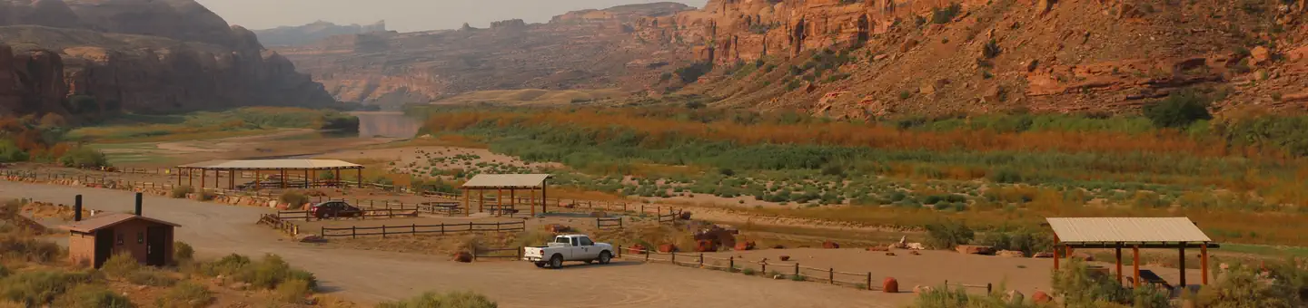
The group sites at Dewey Bridge are located along the Colorado River and offer a wonderful retreat for adventurers looking to explore the area. Within close proximity to national parks and open space, outdoor enthusiasts will enjoy hiking, mountain biking, whitewater rafting, and four-wheel drive tours in the surrounding area. The town of Moab is approximately 45 minutes away and has dining, shopping, sports rentals, tour companies and museums.
Canyon Country (Southeast)
Gold Bar Group Sites
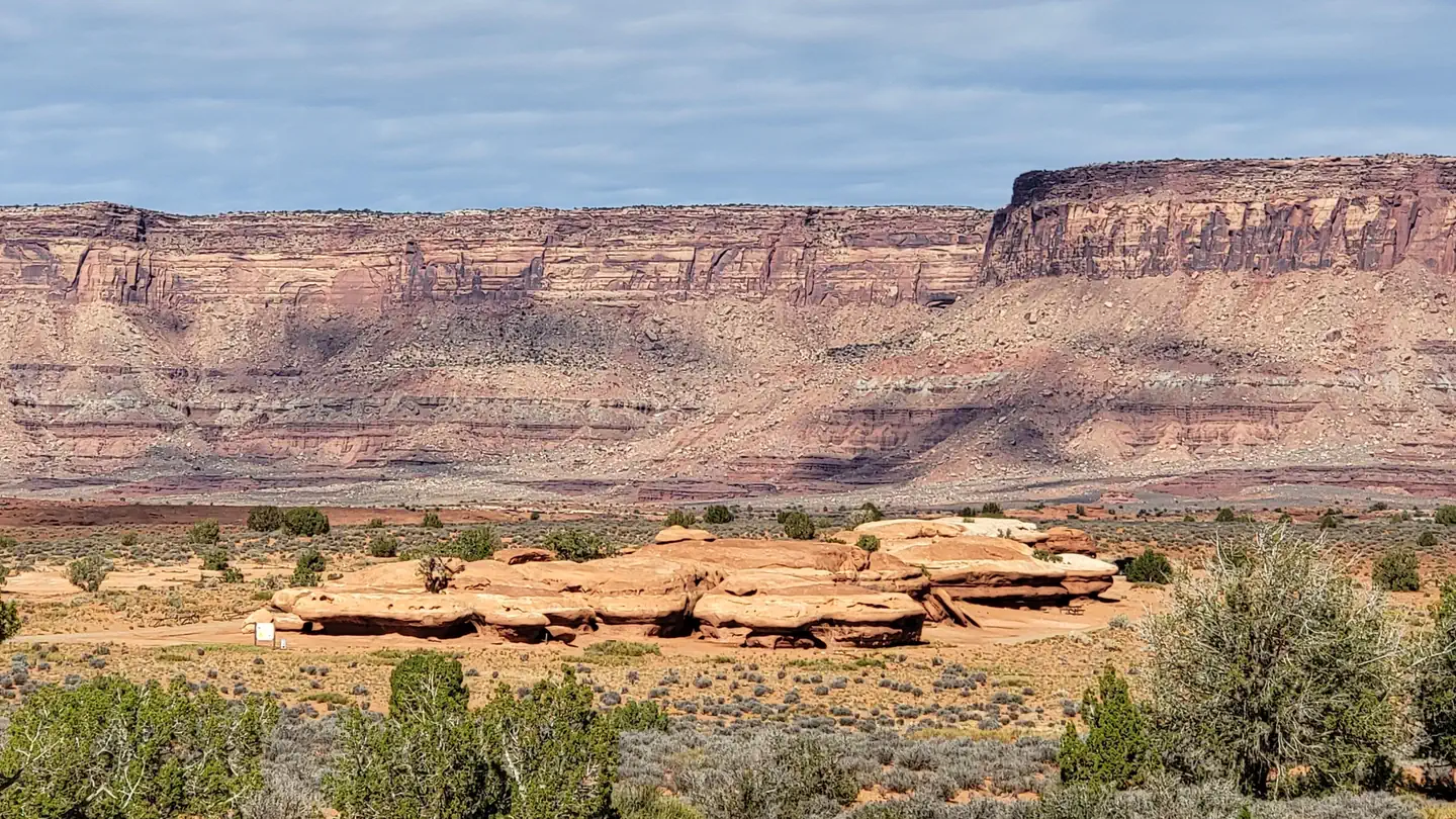
The four group sites at Gold Bar are located along the Colorado River and are ideal for large gatherings such as school groups or family reunions. Within close proximity to national parks and open space, outdoor enthusiasts will enjoy hiking, mountain biking, whitewater rafting, and four-wheel drive tours in the surrounding area. The town of Moab is approximately 15 minutes away and has dining, shopping, sports rentals, tour companies and museums. Recreation There is a boat ramp located at Gold Bar giving access to the Colorado River. The group sites are close to the trailhead for Corona Arch and numerous hiking and four-wheel drive roads. Both Arches and Canyonlands National Parks are nearby.
Canyon Country (Southeast)
Hamburger Rock Campground
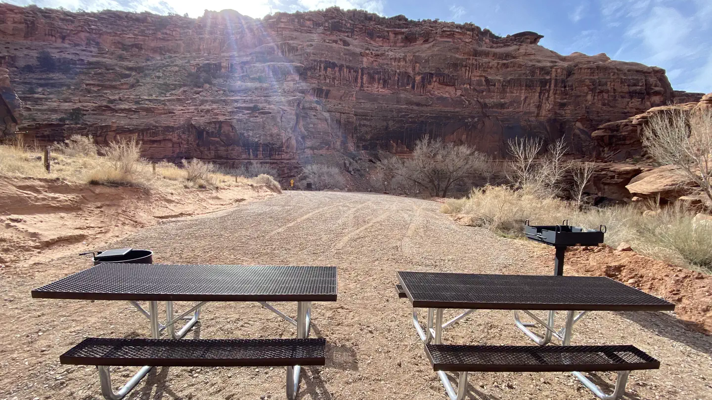
Overview Hamburger Rock Campground is a good option for visitors wishing to recreate in the Indian Creek area of Bears Ears National Monument or be close to the Needles District of Canyonlands National Park. The campground is located north off the Needles Highway (accessed from Utah State Route 211), approximately 3 miles southeast of Canyonlands National Park and 17 miles northwest of Newspaper Rock. The campground provides 10 campsites that each feature a tent/trailer space, a picnic table, a fire ring, and vault toilets. Each campsite can hold 10 people and 2 vehicles. There is no drinking water at the campground. Reservations are not available for camping at this location. Campsites are available on a first come, first served basis upon arrival at the self-register kiosk at the site. The Indian Creek area is generally primitive and undeveloped, with few services.
Canyon Country (Southeast)
Hunter Canyon Group Site
Overview The Hunter Canyon Group Site is ideal for visitors looking to explore the Hunter Canyon trail and access popular rock-climbing routes in the area. Access to the Hunter Canyon Campground is down a tight, steep switchback on a gravel/dirt road. It is not recommended for vehicles over 22' or vehicles pulling long trailers. It is off of the Kane Creek Road, which can be busy with OHV traffic and associated noise. Within close proximity to Arches and Canyonlands National Parks and other open space, outdoor enthusiasts will enjoy hiking, rock climbing, mountain biking, and four-wheeling on designated roads with beautiful scenery. The town of Moab is approximately 20 minutes away and has dining, shopping, sports rentals, tour companies and museums.
Recommended campsites
Individual sites worth asking for by name.
Nearby activities
What you'll actually do from those campgrounds.
Lake Canyon #10 East Side
0.3 mi from Cleveland Reservoir Campground
Camp at Cleveland Reservoir CampgroundLake Canyon #10 West Side
1.0 mi from Cleveland Reservoir Campground
Camp at Cleveland Reservoir CampgroundSpring Creek
2.1 mi from Buckboard
Camp at BuckboardCooley Pass Trail
2.6 mi from Buckboard
Camp at BuckboardPole Creek Fenceline
2.8 mi from Buckboard
Camp at BuckboardRed Ledges
3.1 mi from Buckboard
Camp at BuckboardWhere to look
Regions with the most options for this activity.
Other ways to camp
Same campgrounds, different reason to go.