

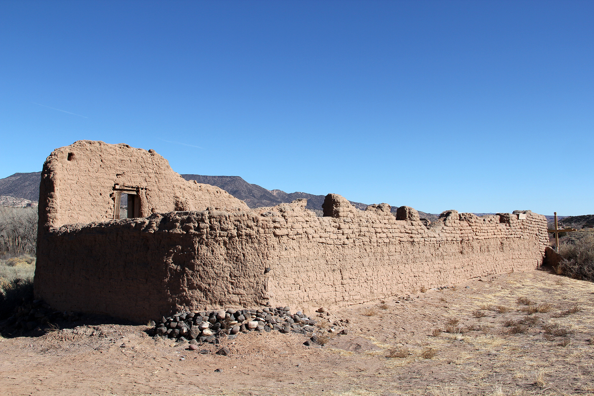
National Historic Trail
Old Spanish National Historic Trail
Follow the routes of mule pack trains across the Southwest on the Old Spanish National Historic Trail between Santa Fe, New Mexico, and Los Angeles, California. New Mexican traders moved locally produced merchandise across what are now six states to exchange for mules and horses.
Official NPS pageHours
There are many places of history and commemoration on the Old Spanish National Historic Trail to visit. Museums, interpretive centers, and historic sites provide information and interpretation. Please contact each site before you go to obtain current information on closures, changes in hours, and fees.
Entrance fees
No entrance fee listed.
Getting there
You can visit many sites of the Old Spanish National Historic Trail over the 2,700-mile historic route that crosses 6 states.
Things to do
Places to see
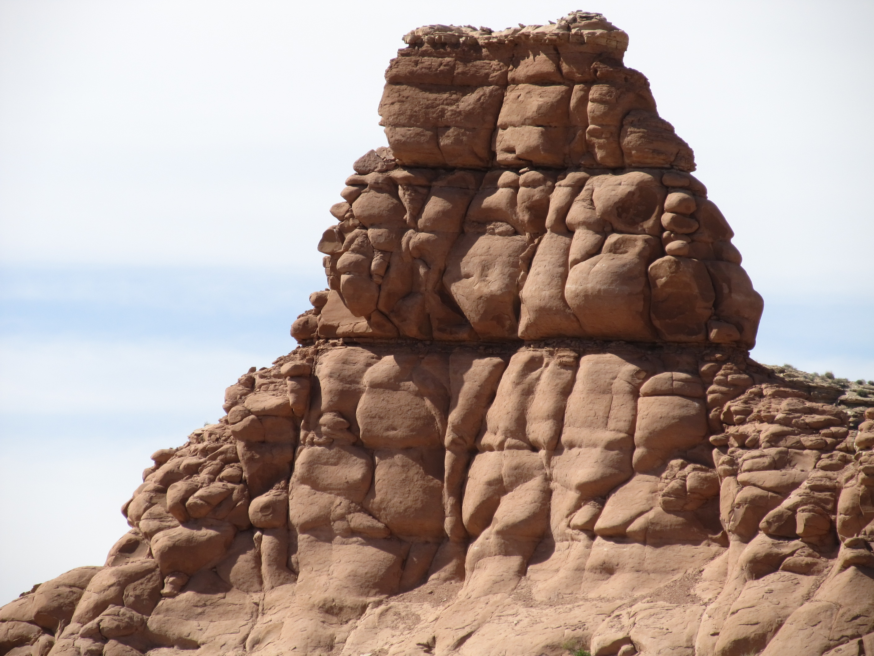
Idol Rock on the Old Spanish Trail
Between 1829 and 1848, pack mule caravans and travelers used the Old Spanish Trail as a trade route between Santa Fe, New Mexico, and Los Angeles, California, which were part of Northern Mexico at the time. In 1853, Captain John W. Gunnison’s expedition traveled on parts of the Old Spanish Trail searching for a railroad route. This geologic feature was sketched and named by Richard Kern, a geologist from the expedition. The modern-day discovery of this sketch, and its use to find Idol Rock, helped verify the location of the Old Spanish Trail. Site Information Location (Latitude: 39.055000305 Longitude: -110.40100097) Idol Rock is located in Emery County, Utah along the northern limits of the San Rafael Swell. It is a large and tall mass of sandstone, making it stick out significantly from its surroundings. It can be seen clearly from the Old Spanish Trail. The landscape surrounding Idol Rock is very dry and filled with sagebrush and cottonwood trees. As you travel here, you’ll pass through parts of the San Rafael Swell, a large geologic area that has been uplifted and eroded over time, creating many valleys, canyons, mesas, and buttes that can be observed the further you venture in. Getting to this area requires 4WD and high clearance at a minimum and is impassible during or after rain. Plan trips accordingly as this site is a remote one with no amenities. A small pull-off is available near the interpretive sign for parking. As you make your way to this site, you may find other cultural sites and evidence of Old Spanish Trail travelers. Stone culverts, railroad grades, and dugways can be found all through this area, particularly on the ATV trails. Safety Considerations More Site Information Exhibit with Audio Description available Old Spanish National Historic Trail
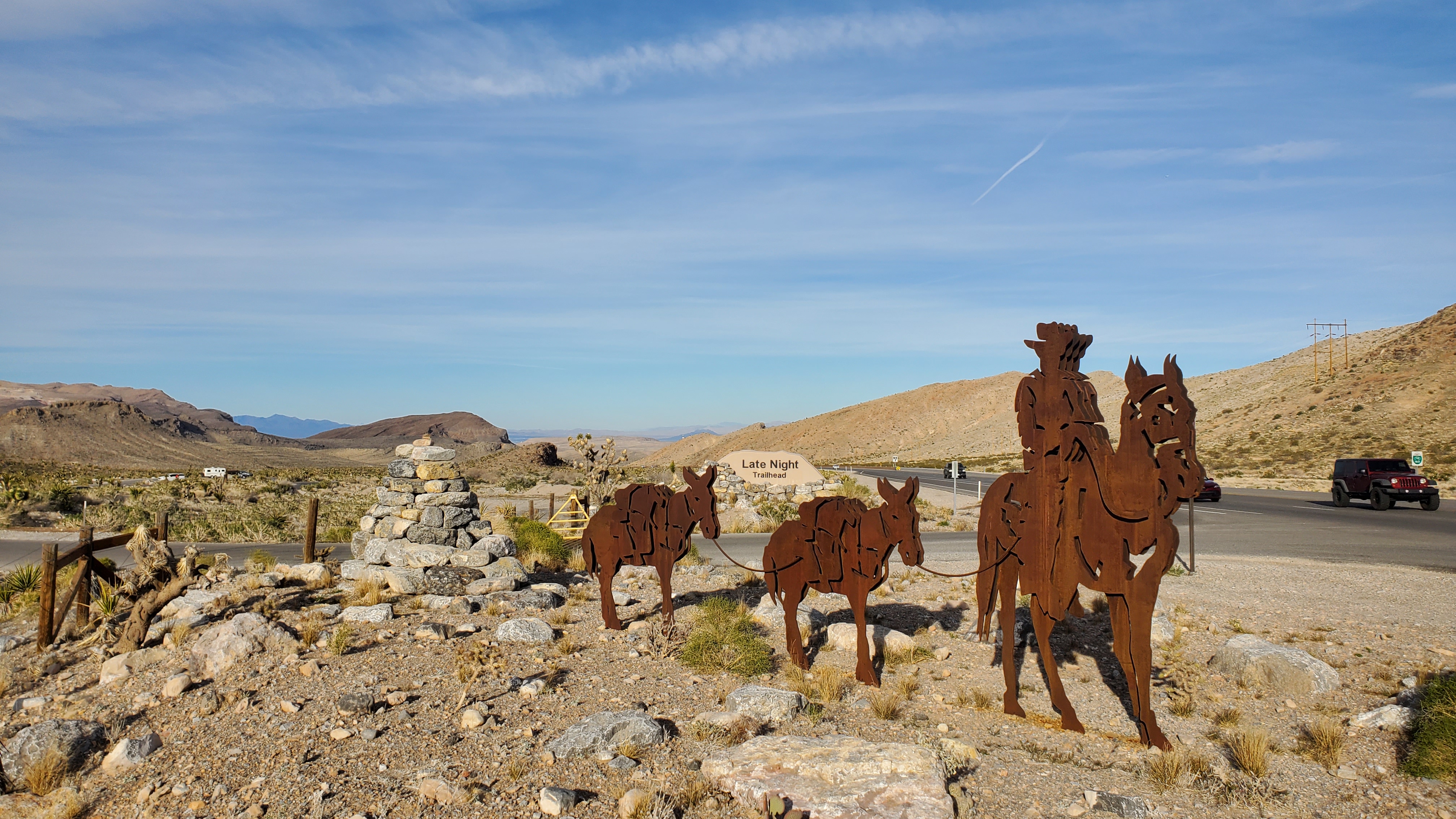
Late Night Trailhead
Mule trains, loaded with trade goods, crossed this mountain pass in the mid-1800s on their long journey between Los Angeles, California and Santa Fe, New Mexico. Though the going was rugged, the area’s streams and springs provided essential water sources to traders and livestock making the route passable. Today, visitors can experience a little bit of what this travel was like on the Old Spanish Trail as they hike, bike, and ride horseback through this picturesque, arid landscape. Late Night Trailhead provides access to dozens of miles of trails that crisscross the mountain pass offering options for short walks or longer, more strenuous hikes. A large parking area is located along State Route 160/Pahrump Valley Highway, 15 miles west of its intersection with I-15. The entrance is marked with a sign and large, metal mule trail silhouettes. Visitors will find a restroom at the trailhead, as well as wayside exhibits that relate the story of the Old Spanish Trail. Located in the 23,000-acre Cottonwood Valley Recreation Area of Red Rock Canyon, this spot is home to 35 miles of designated trail, more than 600 species of plants, desert tortoise, and wild horses and burros. The area is managed by the Bureau of Land Management (BLM), who remind you to help protect the cultural and natural resources of the area. The BLM is the largest administrator of public lands in the West. It adheres to the policy of multiple use, thereby providing recreational opportunities, protection for cultural sites, and the management of natural resources, including wildlife. Late Night is one of several trailheads providing access to this trail system. For more information visit: Red Rock Canyon NCA Site Information Location (State Route 160/Pahrump Valley Highway, Las Vegas, NV 89123) Travel 15 miles west on State Route 160 from its intersection with I-15/Las Vegas Freeway to reach the parking area. Bring drinking water. There is no water at the trailhead. Visit at cooler times of day and year. Summertime temperatures regularly surpass 100˚ F. The area is pet friendly. Please clean up after your pets. Practice “Leave No Trace” Safety Considerations More Site Information Old Spanish National Historic Trail
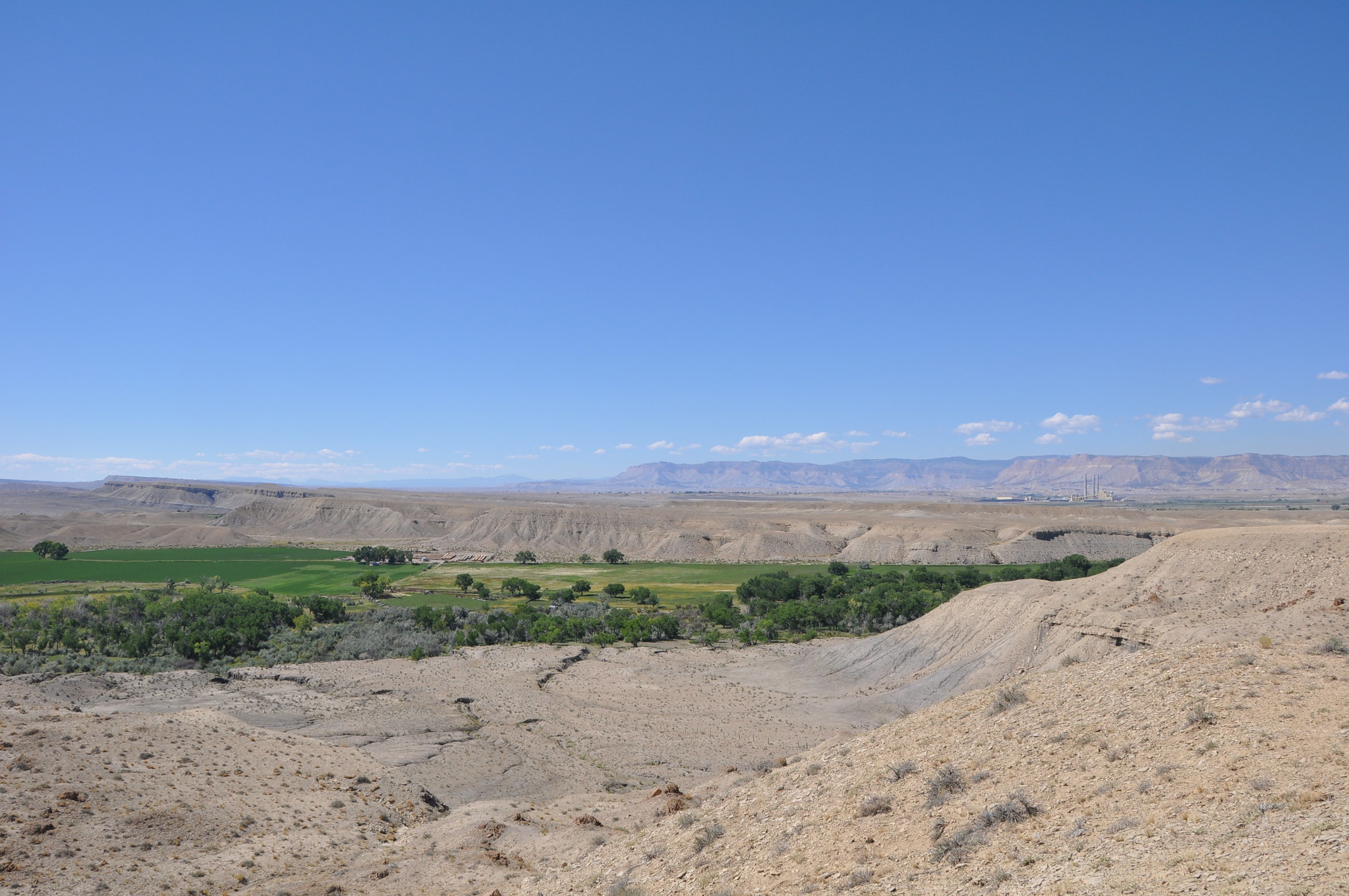
Muddy Creek, Emery County
Between 1829 and 1848, pack mule caravans and travelers used the Old Spanish Trail as a trade route between Santa Fe, New Mexico, and Los Angeles, California, which were part of Northern Mexico at the time. River crossings were dangerous undertakings for Old Spanish Trail traders yet also vital for the water and resources they provided in the arid environment. This location along Muddy Creek became a river crossing for travelers on the trail. Because the river could be difficult to cross after heavy rainfall, travelers planned their journeys in such a way to avoid crossings at peak-flow times. Site Information Location (Latitude: 38.4028, -110.6929 Longitude: -110.6929) Muddy Creek is located in Emery County, Utah. The landscape surrounding Muddy Creek is dry and filled with sagebrush and cottonwood trees. As you travel here, you’ll pass through parts of the San Rafael Swell, a large geologic area that has been uplifted and eroded over time, creating many valleys, canyons, mesas, and buttes that can be observed the further you venture in. A small pull-off is available near the interpretive sign for parking. As you make your way to this site, you may find other cultural sites and evidence of Old Spanish Trail travelers. The Rochester Rock Art Panel is a nearby site managed by the Bureau of Land Management. This Fremont Culture petroglyph panel predates the Old Spanish Trail travelers, and shows that people have been traveling through and living in this area for millennia. Safety Considerations More Site Information Exhibit with Audio Description available Old Spanish National Historic Trail
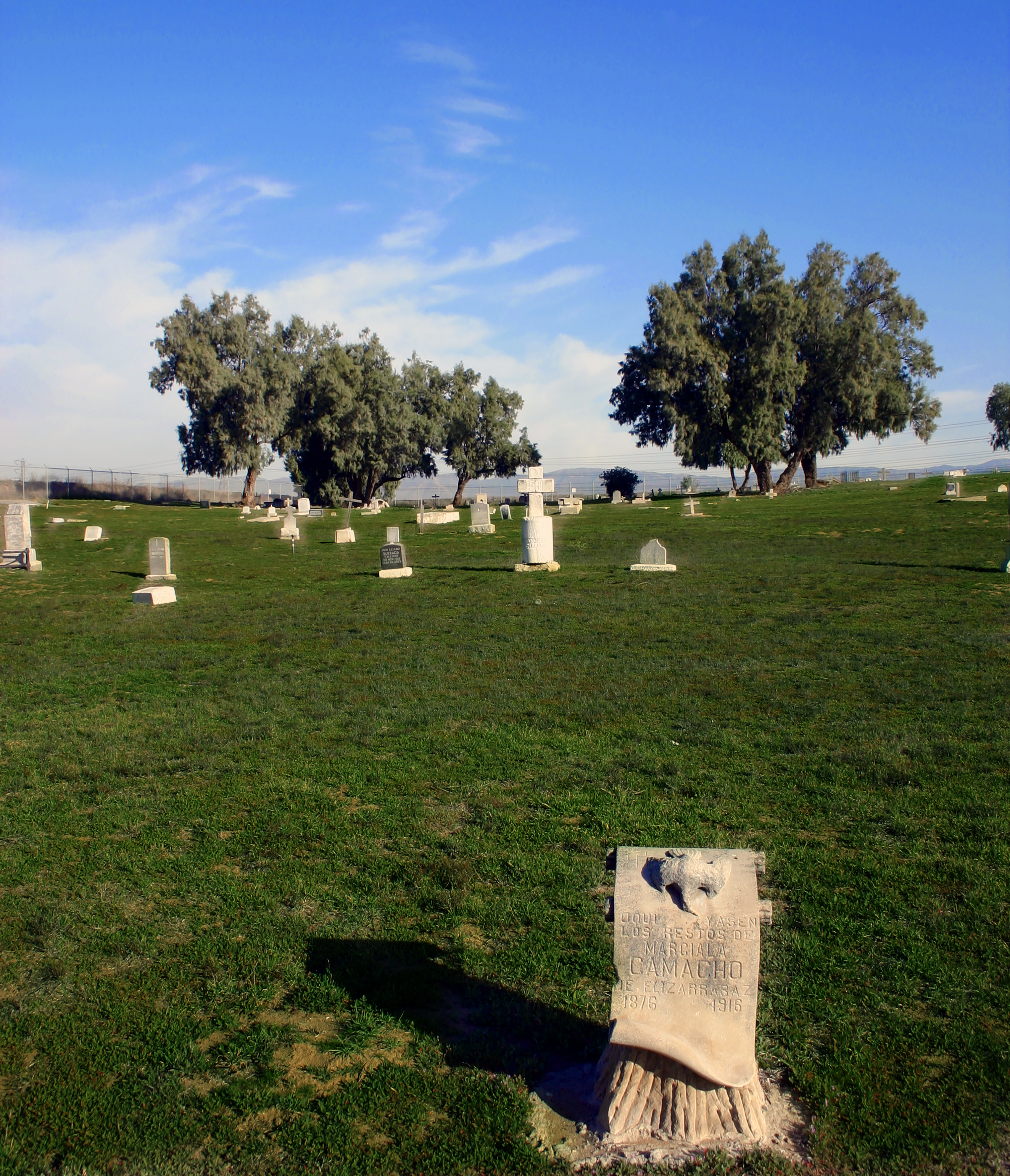
Agua Mansa Pioneer Cemetery
Antonio Maria Lugo and Juan Bandini established the San Bernardino and Jurupa ranchos on former Mission San Gabriel property in the 1830s. By offering land, they convinced a group from Abiquiu, New Mexico, to travel along the Old Spanish Trail and settle on the upper Santa Ana River and serve as a buffer against raiders and outlaws along the trading route from Santa Fe to Los Angeles. The emigrants first colonized Politana on the Rancho San Bernardino in 1842. Ten of these families, led by Lorenzo Trujillo, moved from Politana to 2,000 acres on the “Bandini Donation” on the east side of the river, on the northern boundary of the Jurupa Rancho. This village was known as “La Placita de los Trujillos”, later called La Placita. A second group moved to the west side of the river at Agua Mansa, and by 1845 the twin communities were firmly established. Farmsteads were laid out, an extensive irrigation system was dug, and grapes, grain, vegetables, and fruit trees were planted. Horses, sheep, and cattle were pastured on the mesa to the southeast, at present-day Riverside. Agua Mansa flourished until January 1862, when a great flood filled the Santa Ana River from bluff to bluff and destroyed the west bank community, leaving only the cemetery, the chapel, and Cornelius Jensen’s adjoining store, built in 1854. Most of the homes in La Placita were also damaged or destroyed. Although rebuilt, the farming community never regained its importance. The coming of the railroad, the rise of the cement industry, and the expansion of the citrus industry drew people away from these two farming communities. La Placita was a recognized community of Riverside until 1926. The Trujillo cantina closed in World War II, and the last burial in the cemetery occurred in 1963. La Placita’s first church was a brush-covered enramada (bower or arbor). A permanent adobe church was built near the river bank in 1852; it collapsed in quicksand the day after the last row of adobe bricks was placed. Work on a third church, this time on the Agua Mansa side of the river, started immediately. The 11′ by 58′ chapel was completed in 1853 and dedicated in 1857 as “San Salvador”. The chapel withstood the 1862 flood, although the water rose to its steps. In fact, the ringing church bell alerted the Agua Mansans to the impending flood, and all escaped without loss of life. In 1867, however, the parish was moved to San Bernardino, and by 1883 the chapel stood abandoned and crumbling. Site Information Location (2001 Agua Mansa Rd, Colton, CA 92324) The cemetery sits on a hill in an area now zoned for industry. The site is green in the wet winter months and dusty and brown during hot summers. A replica chapel sits at the northwest corner of the site and a circular drive encompasses the burials. There are approximately 2,000 people buried at the site, but only a few hundred headstones remain. Safety Considerations More Site Information Old Spanish National Historic Trail
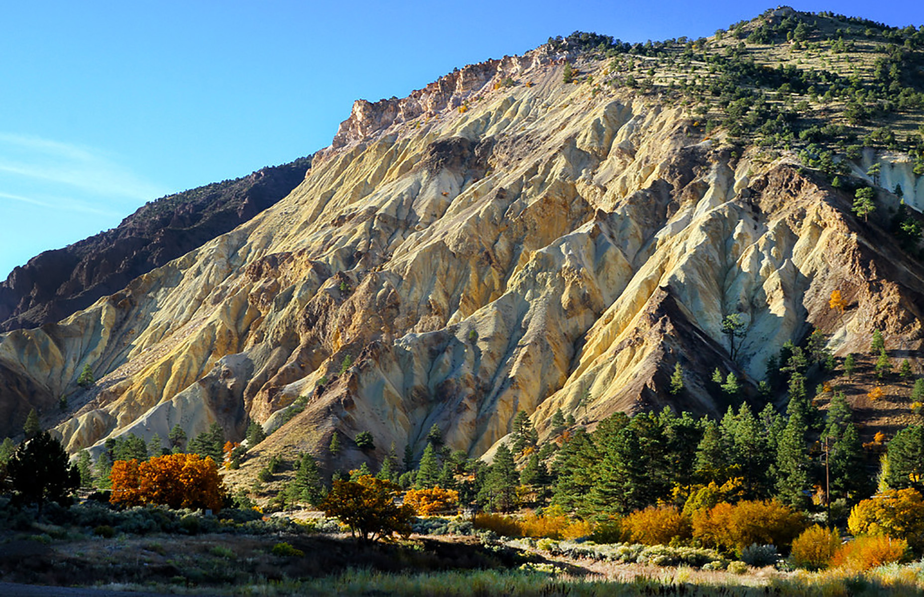
Big Rock Candy Mountain Bike Trailhead
The Big Rock Candy Mountain Loop Trail goes south through Marysvale Canyon and back through Long Valley. The portion through Marysvale Canyon is paved until you reach the Whistle Point Trailhead near the big Rock Candy Mountain Resort, where many amenities are available. From there the rest of the trail is unpaved trail and dirt roads until you return to the paved portion further north at the highway 89. ATVs are prohibited on the paved section but are allowed on the historical unpaved portion. Back in the early to mid-1800s, traders along the Old Spanish Trail reached a difficult decision when they approached this section of trail. They had to decide to take Long Valley or Marysvale Canyon, both having advantages and disadvantages. The canyon followed the river, which was a crucial resource for travelers and their mules but was extremely difficult to pass due to the thick vegetation and rushing water leaving little space for travel. Long Valley was open and easier to traverse but was longer and lacked water. Ultimately the pack mule caravans chose Long Valley because they could rejoin the river after only a day. The mountain itself was named after the song by Harry McClintlock in 1928. Known for its interesting caramel yellow color and beauty, this cluster of hills was named after a group of early Utah residents, who after hearing the song, placed a sign at the base where the Big Rock Candy Mountain Resort sits today. The same group named a nearby spring “Lemonade Spring,” which name has also stuck and is now a local popular spot. Site Information Location (2727-2747 Sevier Hwy, Sevier, UT 84766) The trailhead is in Sevier, Utah, right next to highway 89. This section of the Old Spanish Trail follows the Northern route as pack mule traders traded good between Santa Fe, New Mexico, and Los Angeles, California. The trailhead has ample parking and restrooms, along with a trail sign and other interpretation providing information about the old railroad that used to run through the canyon. The paved path heads south through Marysvale Canyon and is five miles long. It is mostly downhill and is rated as easy. It follows right beside the river and provides a cool breeze and shade from the canyon walls depending on the time of day. Grasses, shrubs, and trees surround you for most of this portion of the trail. As you head down the path you can see an old tunnel that was used for the railroad but has now since been abandoned. The unpaved portion begins at the Whistle Point Trailhead near the Big Rock Candy Mountain Resort. This path is 19 miles long, rated as moderate to strenuous, and offers a harder challenge than the paved portion. The valley provides a more open space allowing for a wider viewshed of the area, especially at the valley overlook point indicated on the map. Vegetation is sparser here due to lack of abundant water, but shrubs and cottonwood trees are still prevalent. Safety Considerations More Site Information Exhibit with Audio Description available Old Spanish National Historic Trail
Amargosa Canyon
The China Ranch Trail in Amargosa Canyon provides access to a network of hiking trails along Willow Creek and the Amargosa River—the beating heart of the Amargosa Basin where perennial streams support some of the best migratory bird habitat in the southwestern United States. experience to exquisite natural beauty and rich cultural history of the Amargosa River. Look carefully to find evidence of the people who called this region home. You will follow the same path as those early explorers who came on the Old Spanish and Mormon Trails. Along the trail there are interpretive signs to guide your walk into this natural cultural gem of the Amargosa. Site Information Location (near Tecopa, California) This site is managed by the Bureau of Land Management. The trail is a 3.0 mile loop at a mild grade with even, hard-packed gravel. There is a possible, seasonal stream crossing to access the slot canyon trail at the top of the loop. Safety Considerations More Site Information Old Spanish National Historic Trail
Cajon Pass
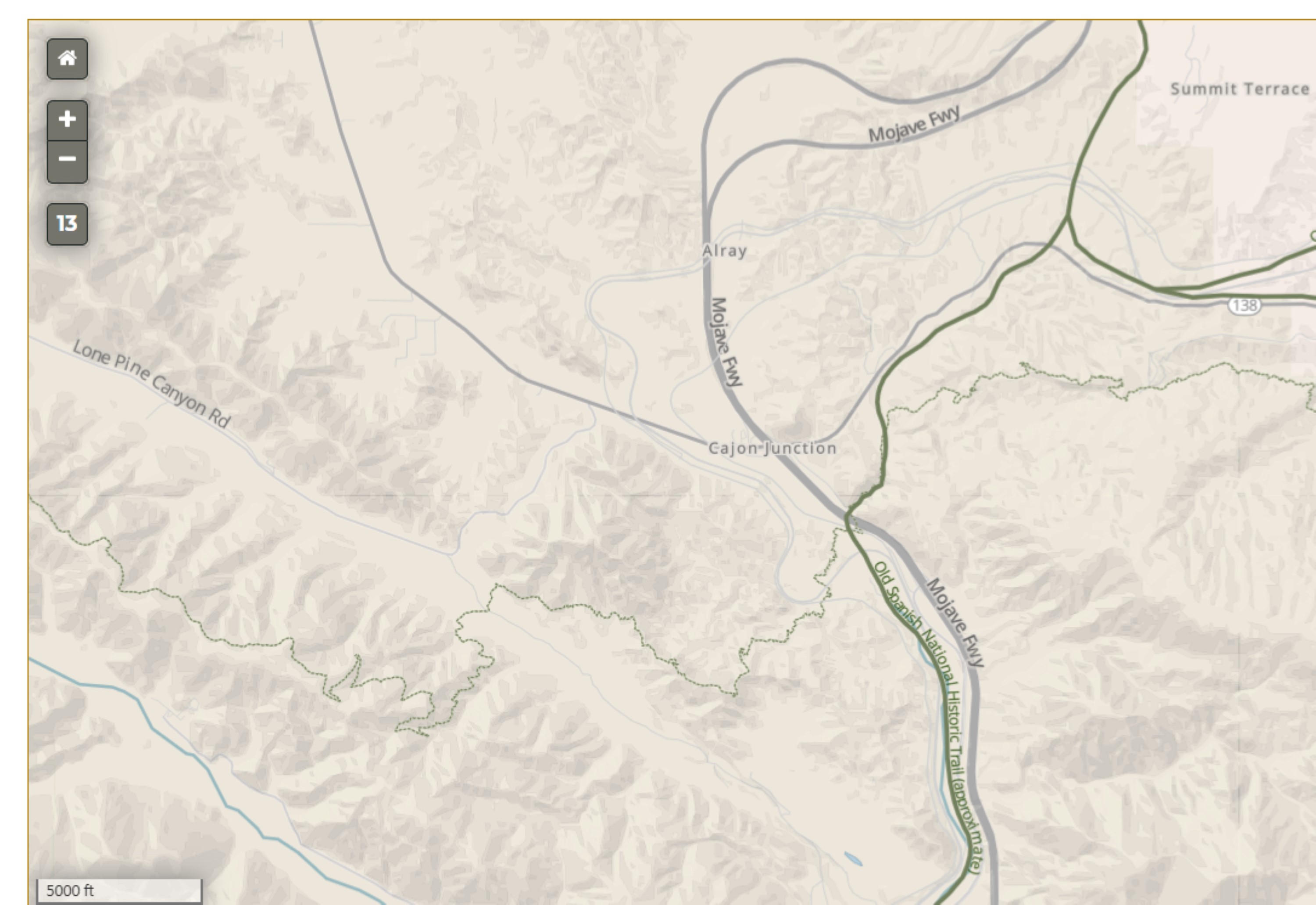
Cajon Pass is a mountain pass between the San Gabriel and San Bernardino Mountains and the route of the Old Spanish Trail. This important box canyon has been used by thousands of years as a passage from the Mojave Desert to the Los Angeles Basin. It is currently grouped with Cajon Summit to describe the area where a vital artery of the California interstate system, Interstate 15, descends into Los Angeles, after traveling east from Las Vegas. The Interstate 15 corridor through this area also serves as a part of the mother road, Route 66. During the Old Spanish Trail days, travelers who were exhausted after navigating Cajon Pass would luckily stumble upon the homestead of Isaac Slover and his wife, María Bárbara Aragón Slover, who regularly assisted travelers on the Old Spanish Trail. Isaac opened his smokehouse and supplied the famished travelers with bacon and squashes, a feat of generosity that seems to have been a regular occurrence. New settlers found that the Slovers would help them survive until their own crops had been planted and harvested. The Mexican government was beginning to grow weary of outsiders, but Slover's eventual marriage to María Bárbara Aragón, his conversion to Catholicism, and his acceptance of Mexican citizenship provided him with the means to trap and trade freely along the Old Spanish Trail. They relocated to California's San Bernardino Valley in 1837, and--along with other New Mexican emigrants--founded the communities of Agua Mansa and La Placita de los Trujillos in the 1840s. Pacific Crest Trail The Pacific Crest Trail (PCT) traverses through Cajon Pass, with a section that parallels the Old Spanish Trail. This is a great opportunity to hike a portion of the trail, but should only be attempted by experienced hikers. Access is via Elliot Ranch OHV Road 3N22. Please contact the San Bernardino National Forest for more information. Site Information Location (Cajon Pass is at the head of Horsethief Canyon, traversed by California State Route 138 (SR 138) and railroad tracks owned by BNSF Railway and Union Pacific Railroad. The Cajon Summit corridor, which includes Interstate 15, is near Cajon Pass, and the trail passes under the Interstate, and west of the Interstate into the Los Angeles basin.) Safety Considerations More Site Information Old Spanish National Historic Trail
Canon Largo ATV Trailhead
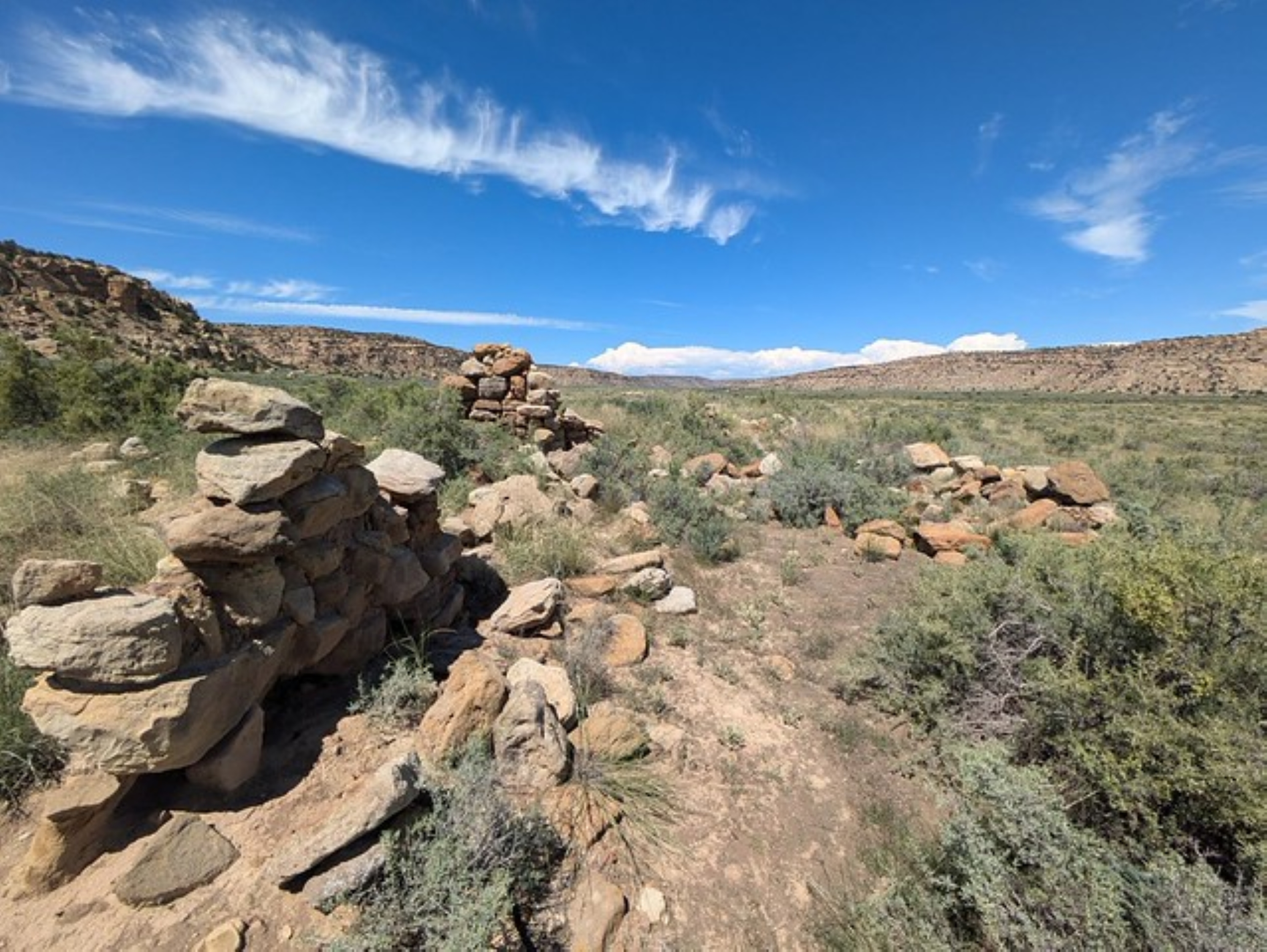
When visiting Largo Canyon, visitors may find historical Puebloan sites, historic Navajo settlements, and early 20th century small-scale ranch and farm homesteads. These homesteads represent some of the last humans to occupy this canyon. During the late 19th century to early 20th century, this canyon had approximately 200 known residents. This population was primarily Spanish Americans, but Anglo Americans and Native Americans also lived in this canyon. The population, which survived off livestock and small-scale vegetable farming, did not last through the economic turmoil caused by the Great Depression. In its peak, alongside the homes that can be found today, this community had a small church, school, cemetery, and trading post. The trading post proved somewhat valuable to those traveling past the canyon between the San Juan region to Abiquiu or Santa Fe, New Mexico. Haynes Trading Post was opened by two brothers somewhere between 1875 and 1908. While the post was abandoned in the late 1920s, the structure is still somewhat intact today. Today you can see several rooms that were used as living quarters, storage space, and animal containment areas. Near the trading post, visitors can find the remains of Navajo Dwellings, known as hogans, and sweat lodges which were used by those operating and running the post. Largo Canyon is also where Armijo and his men camped while traveling through to meet the San Juan River. Site Information Location (Near Counselors Trading Post on US 550, approximately one hour south of Farmington or one half hour north of Cuba, New Mexico.) Canon Largo: 36.4794, -107.5278 Haynes Trading Post: 36.2709, -107.4270 Boca la Canon Largo: 36.3136, -107.4235 Roads are rough and can be impassable when wet. Visit the BLM office in Farmington to obtain information, check road conditions, and get maps for your journey. Safety Considerations More Site Information Old Spanish National Historic Trail
Cerro Summit
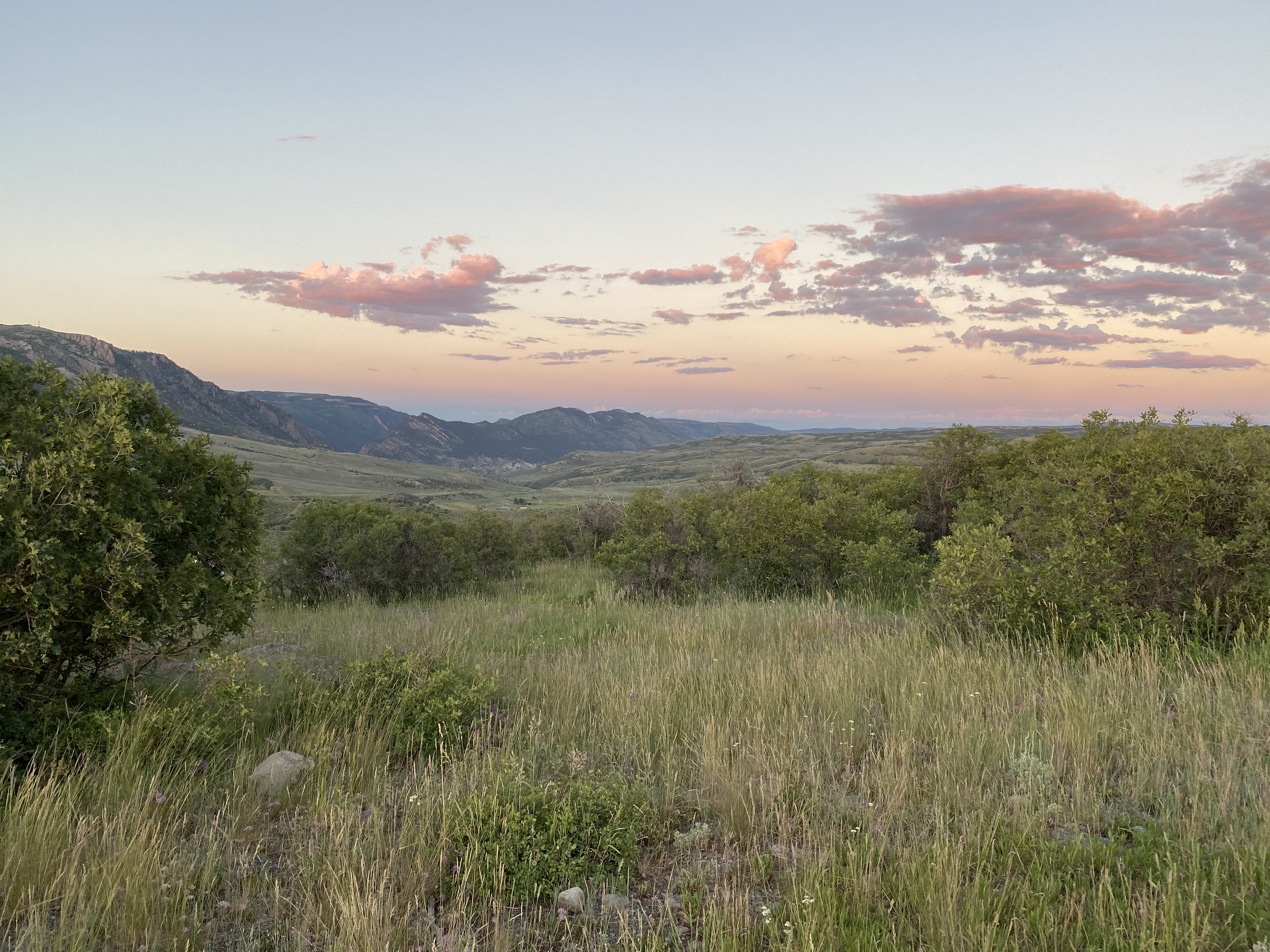
The Cerro Summit Recreation Area is a 110-acre property owned and managed by the City of Montrose, CO. It is managed as open space and is open year-round. Enough snow falls in the winter to support sledding, cross-country skiing, and family style downhill skiing and snowboarding. In recent years a trail system has been developed for hikers, runners and mountain bikers. The Old Spanish National Historic Trail passes directly through the trail system, on the south side of Highway 50. Site Information Location (The Cerro Summit Recreation Area is 13 miles east of Montrose along highway 50; the recreation area is just south of the summit off of County Road P 77. Other than 3 small parking areas and a few trails the property is undeveloped) The landscape is wild, hilly and dominated by the mountain shrub plant community, open sage flats and grasslands. Wildlife such as elk and deer frequent the area; black bear have been seen on occasion. It is a great place for birding. Traveling across a natural landscape has inherent risks so proceed with caution. The area has no facilities or services so dispose of human waste properly and pack out your trash. Fishing is now allowed at the reservoir, with your Colorado fishing license. Safety Considerations More Site Information Old Spanish National Historic Trail
Colorado Welcome Center, Fruita
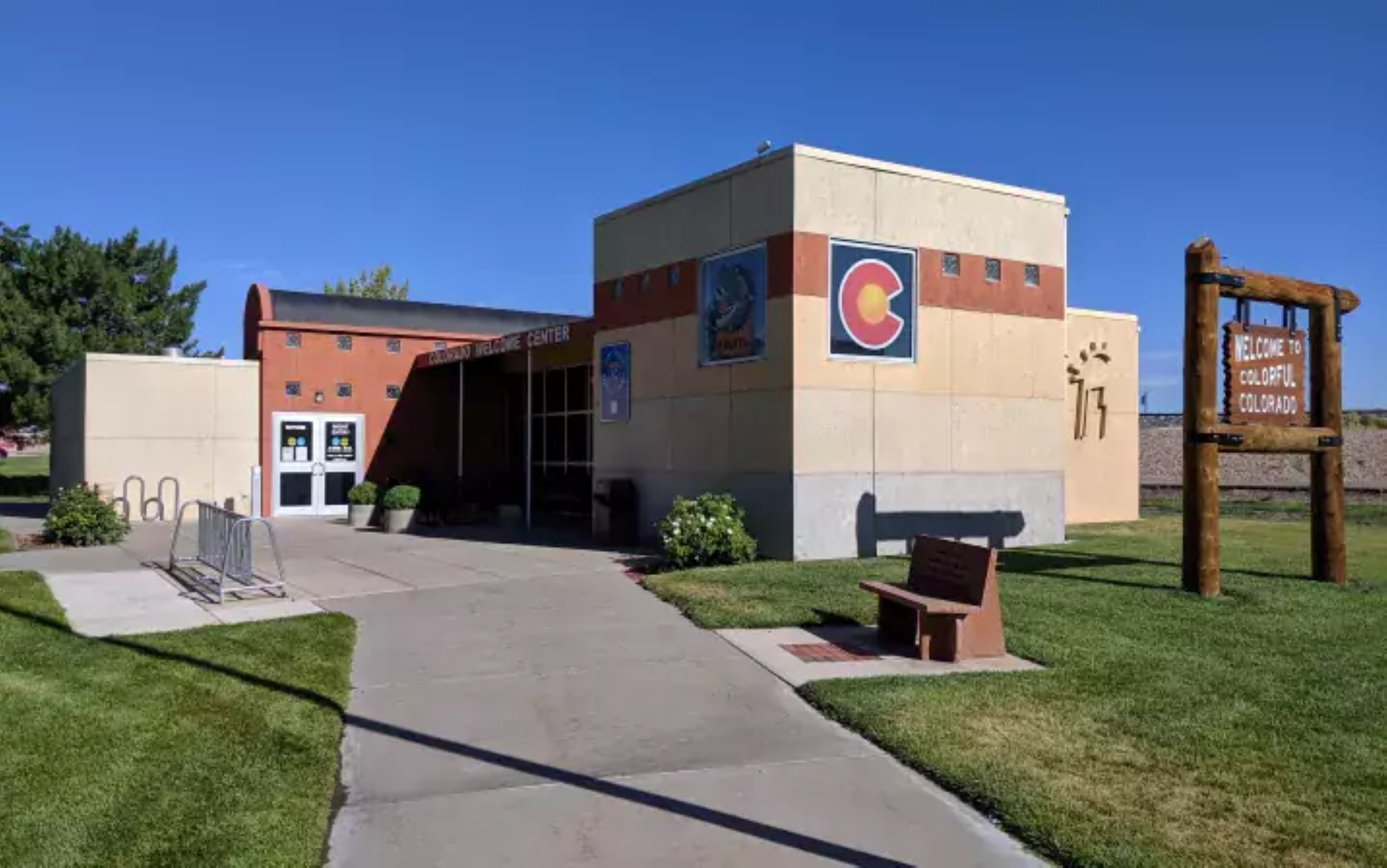
The Colorado Welcome Center (Fruita) contains information on the Old Spanish Trail that went through Colorado and the areas the travelers rested in Colorado. The following sites area in the area surrounding the Colorado Welcome Center and are great opportunities to explore the trail closer. For more information about these sites, please contact or visit the Colorado Welcome Center. The Colorado River Front Trail allows visitors to explore the same corridor which Old Spanish Trail travelers used to by walking or cycling on the established paved path. The Walter Wildlife Center's location along the Northern Route of the Old Spanish Trail provides the opportunity for visitors to view wildlife historic travelers may have encountered in the Colorado River Corridor of Western Colorado. Las Colonias Park has been an influential and important area throughout Grand Junction’s history, because of its’ proximity to both rivers, the modern-day park and its surrounding area would have historically been used to develop the Northern Branch of the Old Spanish Trail. River Crossing / Eagle Rim was once an area that many explorers crossed through the northern route and now it’s modern-day park. Site Information Location (340 Hwy. 340, Fruita, CO 81521) Safety Considerations More Site Information Old Spanish National Historic Trail
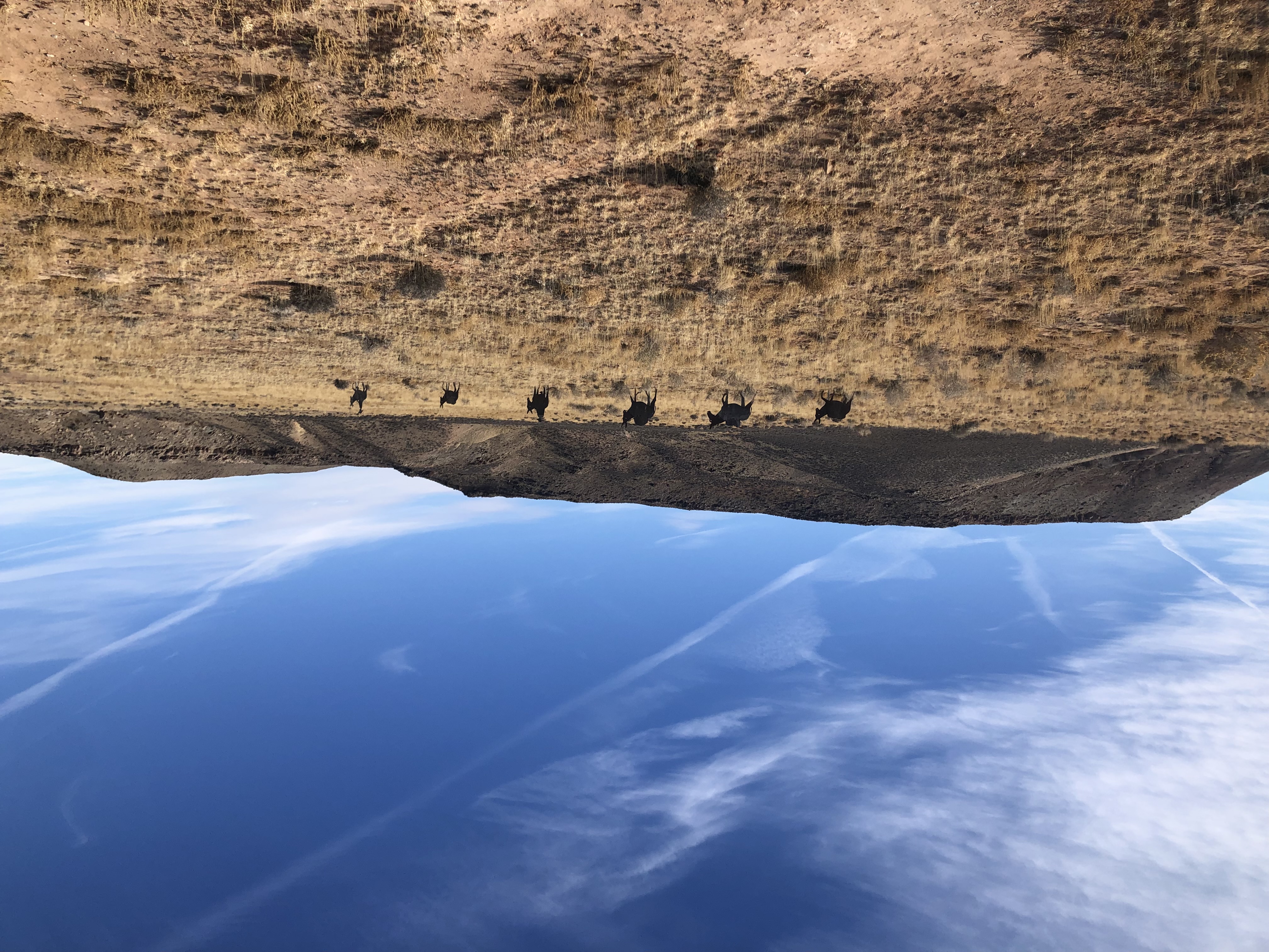
Courthouse Rock Campsite
The area near Courthouse Rock served as a reliable campsite for Old Spanish Trail traders. This area offered feed, water, and protection from the elements and potential threats. It was also a halfway point between two other water sources, the Colorado River and Floy Wash. Other groups, including Native Americans and the Elk Mountain Mission of 1855, also traveled through and camped here. Site Information Location (Courthouse Rock Campground, Moab, Grand County, Utah 84532.; 38.72034580, -109.73453320) The Courthouse Rock Campground is located just off of U.S. Highway 191 in Grand County, UT, about 15 minutes from Arches National Park. From the Highway, take Mill Canyon Road to Cotter Mine Road. The Courthouse Rock Campground will be on your right.The road to the site is bladed. The landscape is open, dry, and hilly. Upon arriving at the campground you will see large hills and rock formations. Amenities The site offers parking, restrooms, a dumpster, units for RV/trailer parking, wayside interpretation for the Courthouse Rock Silhouettes and trail kiosk information for the Mill Canyon Dinosaur Tracksite. Safety Considerations More Site Information Exhibit with Audio Description available Old Spanish National Historic Trail
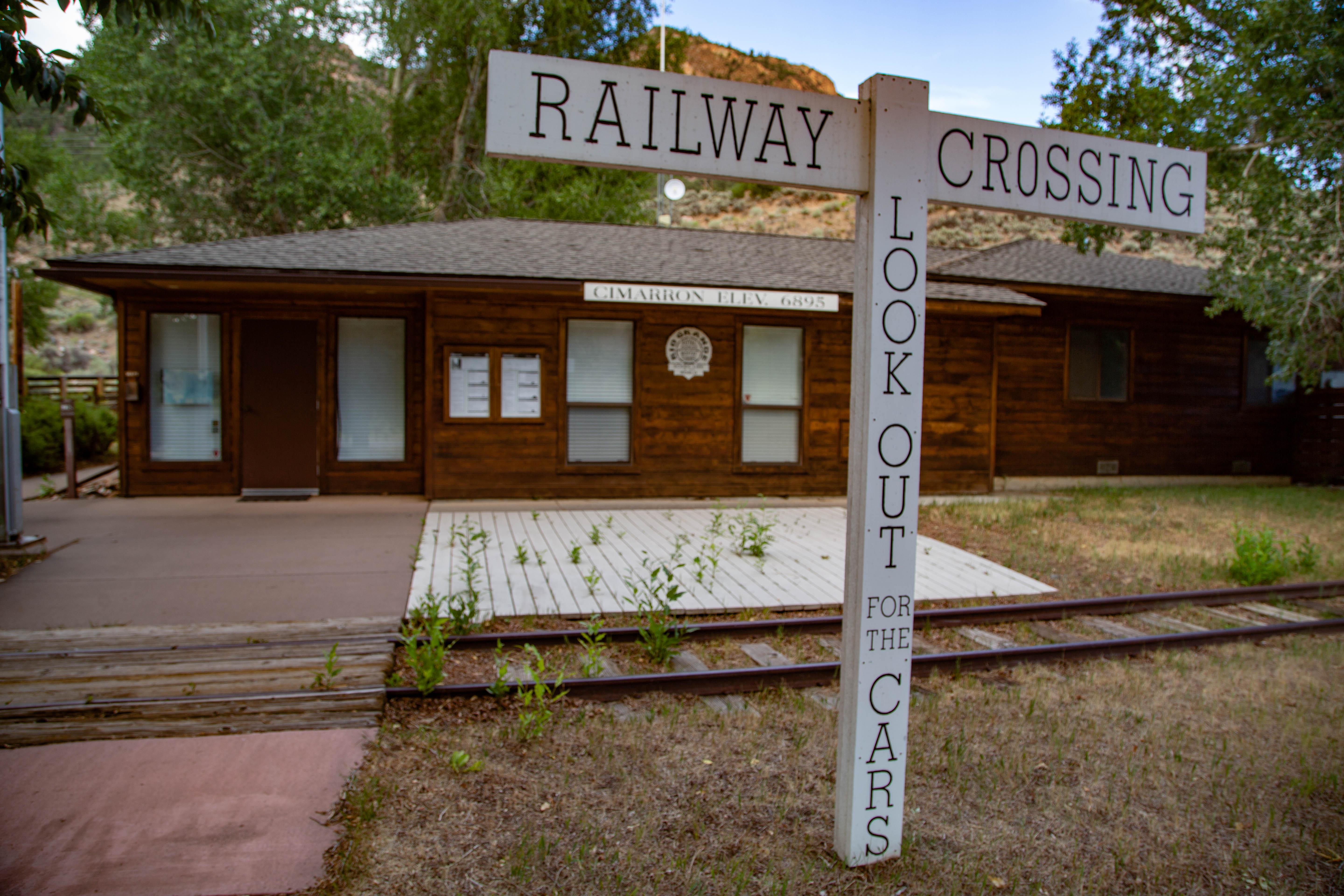
Curecanti National Recreation Area, the Old Spanish Trail
As you travel on Highway 50, you will reach Historic Cimarron - part of Curecanti National Recreation Area. The Old Spanish Trail mirrors the highway in this area, and passes through the recreation area near Cimarron. Stop here to view the railyard exhibit and to visit the Morrow Point Dam overlook. Site Information Location (Cimarron, Colorodo, west of Gunnison, Colorado on Highway 50) Safety Considerations History of the Old Spanish Trail at Curecanti NRA Curecanti National Recreation Area Old Spanish National Historic Trail
Park stories
Old Spanish Trail: Los Angeles Itinerary
Old Spanish Trail: Colorado Western Slope Itinerary
BLM Moab Exhibits Audio Description
Hipólito Espinosa, the Old Spanish Trail
Julián Chávez, the Old Spanish Trail
Michael White (Miguel Blanco), the Old Spanish Trail
Jean Baptiste Chalifoux, the Old Spanish Trail
Apolonia Vaca and Nestora Peña, the Old Spanish Trail
Old Spanish Trail Timeline
Old Spanish Trail Junior Ranger
Ute Raiding Along the Old Spanish Trail
New Mexico, Colorado, Utah, Arizona, Nevada, California: Old Spanish National Historic Trail
Park information courtesy of the National Park Service Data API.